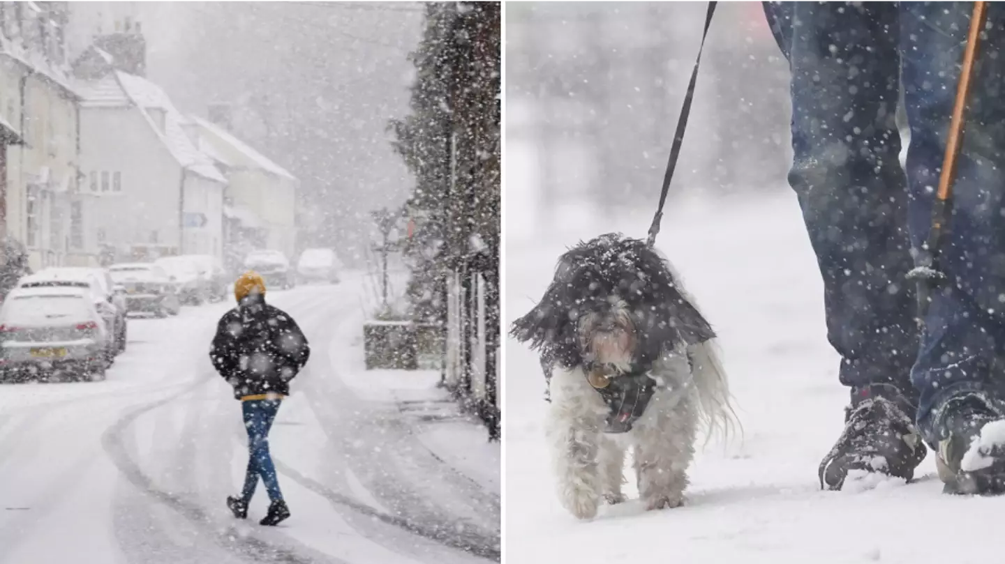
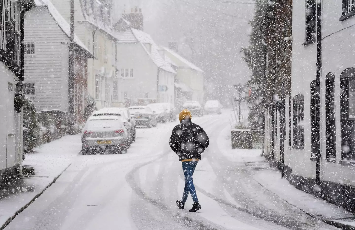
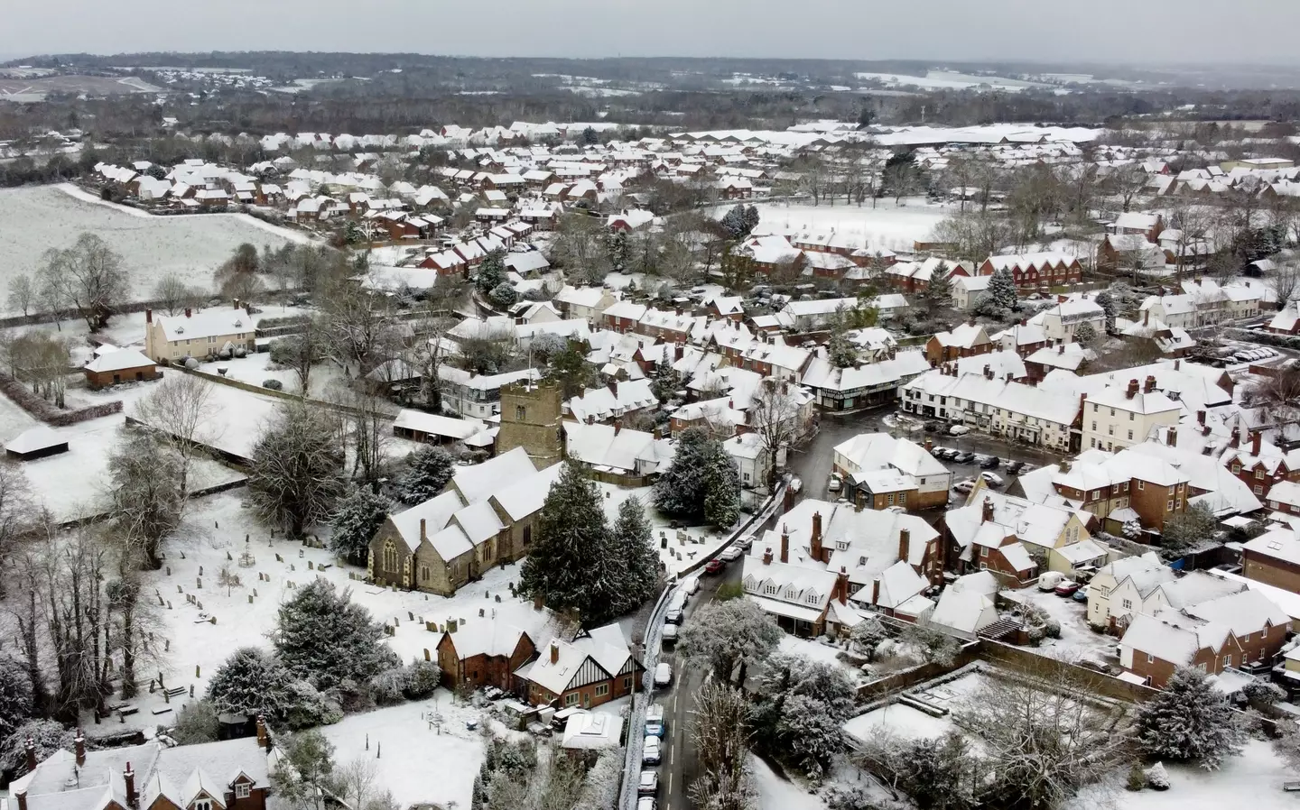
The Met Office has issued a warning about an Arctic blast that will be bringing more snow and freezing temperatures to the UK next week.
Many of us have been feeling the cold lately, with thermostats being desperately cranked up as temperatures drop – with most of the country still drying out after the destruction from Storm Henk.
And it seems things are only going to get bleaker weather-wise, with the Met Office saying 'further cold weather’ is likely throughout much of this week, with an ‘increasing chance of wintry hazards’ towards the start of next week.
The weather service explained that it’s all down to high pressure, which is bringing ‘colder than average weather for the time of year’ in the UK, along with ‘a marked reduction in rainfall amounts following a wet start to January’.
Advert
Speaking in the latest Met Office Deep Dive, meteorologist Aidan McGivern said: "A cold front from the north towards the weekend will mark another change in the airmass for the UK, moving from something with a bit of an Atlantic influence to air that comes more directly from the Arctic."
The Met Office said these cold and ‘largely dry’ conditions will persist throughout much of this week, with areas in the south set to be ‘particularly cold’ compared to average.
By Sunday, a northerly airflow is due to develop – something that will ‘increase the chances of wintry hazards’ for some.
Will Lang, the Met Office's Head of Situational Awareness, added: "There will be a resurgence in the really cold weather through the weekend and that spreads across the whole of the UK during the early part of next week.
Advert
"Initially, this means there will be more in the way of showers around the coasts, turning increasingly to snow for many areas, especially further north."
Looking ahead further to next week, McGivern went on: "We start with a northerly airflow and snow showers, especially near the coasts in the north. But there will also be brighter skies for some.
"Then, from the middle of next week, low pressure tries to move in from the South West, and the impact of this is still a bit uncertain at this range.
Advert
"Different models are saying different things in terms of the track of this low, but you have the ingredients for snow with cold air in place and additional moisture supplied from the Atlantic, which will bring rain, but on the boundary with the cold air, you could see some snow."
Featured Image Credit: PA